Satellite imagery helps Ghana fight illegal mining
Gilbert Nakweya
Authorities are using satellite data to root out the scourge on its forests and farmland
Jane Gyampo, a resident of Sejimari village in Ghana’s Eastern Region, leased her six-acre plot of land to a mining company in 2013 for five years. She says she received a meagre $US 700 from the miners who left her farmland unusable.
“What annoyed me is that they left big holes in my farm with stones all over,” Gyampo tells SciDev.Net. “I cannot plant my cassava and bananas because the land is in bad shape.”
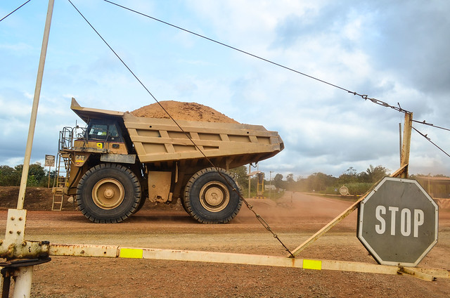
Illegal mining is a serious problem in Ghana that has negative consequences for the environment, especially encroachment of forest reserves, according to the country’s Vice-president Mahamudu Bawumia.
But now authorities are turning to innovative solutions to tackle the problem.
“We have set standards that if one doesn’t meet then we don’t issue a permit for mining,”
Felix Addo-Okyere, Environmental Protection Agency, Ghana’s Eastern Region
Satellite imagery to complement traditional data collection methods, including the national census, is helping to conserve forests and water bodies by informing efforts to curb illegal mining, officials say.
During a media field trip to illegal mines in the country’s Eastern Region last month, the vice-president said that small-scale mining is a source of income and livelihood for numerous communities in the country. With many of these practising illegally, particularly in remote areas, it is a challenge to curb it, he added.
The field trip was organised by UN’s Global Partnership for Sustainable Development Data in collaboration with Ghana Statistical Service to highlight the use of data for sustainable development.
Aerial investigations
The Ghanaian government formed an inter-ministerial committee on illegal mining in 2017 to draw up a regulatory roadmap on mining activities. The country also introduced drones to produce satellite images that have been instrumental in locating illegal mining sites.
Data from the images is used alongside legal mining concession maps in a government database to identify illegal sites, according to Brian Killough, who leads the Committee on Earth Observation Satellites Systems Engineering Office at the US-based National Aeronautics and Space Administration.
It is also used to identify areas in need of reforestation.
“There’s a strong excitement in the use of alternative data collection methods, especially in agriculture and deforestation in Ghana,” Killough says.
In the Eastern Region, 13 hectares of devegetation or destroyed vegetation occurred in nine years before satellite imagery prompted rehabilitation in 2016.
The region’s Atewa forest reserve that protects the rivers Densu and Ayensu, which flow into the Atlantic Ocean, was heavily affected by illegal mining activities.
“We could detect the extent of devegetation. This kind of information helped in making the decision to begin recovery,” says Killough, noting that ten hectares of the land had been revegetated in the last two years.
Tackling pollution
“Some of the areas are so remote and only technology can help us access those areas,” adds Michael Ali, the director of mining at Ghana’s Environment Protection Agency.
Ali tells SciDev.Net that they are now able to get real-time data and make the necessary interventions after mapping out all the mining areas. He says that there are plans to acquire machines that can be used for extracting gold which minimise air pollution.
Felix Addo-Okyere, director of the Environmental Protection Agency in the Eastern Region, says that the negative impacts of illegal mining forced the government to impose a ban on any form of small-scale mining in the country in April 2017.
The inter-ministerial committee on illegal mining directed that all mining companies and individuals register afresh to obtain work permits. Addo-Okyere explains that, before the ban, there were 600 legal concessions for mining in the Eastern Region and numerous unknown illegal mining sites.
“We have set standards that if one doesn’t meet then we don’t issue a permit for mining,” he tells SciDev.Net, saying that only 110 sites have been cleared for mining after the ban was lifted in February.
To get a permit for mining, the applicant must be vetted by the Environmental Protection Agency. Small-scale mines must not exceed 22 acres of land coverage, and the mining site must not be near a water body, a forest reserve or a hill.
“But importantly, one has to show a clear rehabilitation plan which could be done concurrently with the mining or after the mining,” explains Addo-Okyere, adding that illegal mining had even attracted people from countries such as Burkina Faso and Mali who sneak into the country to extract gold.
According to Addo-Okyere, rivers through illegal mines become polluted with silt, making treatment of water for human consumption more expensive. Many pits, he explains, limit land for farming.
“We are depriving people of food which is their livelihood,” says Addo-Okyere, adding that introduction of satellite imagery has led to increased arrests and prosecution of illegal miners.
Political will
Jane Gyampo, whose plot has been left barren since miners vacated, says these efforts need to be stepped up. She urges the government to help restore her land so that she can resume farming and support her six children.
Strong political will to support development using data is key to tackling the wider problem, according to Samuel Kobina Annim, an associate professor of economics at Ghana’s University of Cape Coast, who in March this year was appointed government statistician.
Annim says that previous reliance on census data was problematic as the flow of data was sporadic.
Claire Melamed, chief executive officer of the Global Partnership for Sustainable Development Data, says: “Timely data collection using technologies such as earth observation tools will help us to understand aspects of inequalities and marginalisation in our societies and make the necessary interventions.”
This piece was produced by SciDev.Net’s Sub-Saharan Africa English desk and edited for brevity and clarity.

